01 · Rough River hangout
Sandy Beach
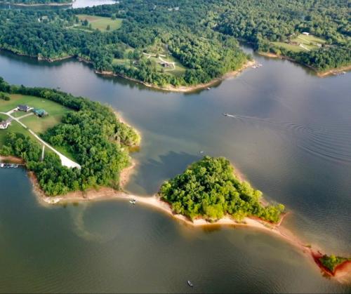
A long, sandy peninsula where boaters beach their boats, swim and explore the small nearby islands. It is one of the lake’s most popular gathering spots, especially on weekends.
Open map location↗
Anchor, beach & meet up
Eight popular Rough River spots to beach the boat, anchor down, meet friends or take in the scenery—shown with locally sourced photos and map locations.
Last reviewed August 27, 2026Pick the kind of lake day
Some areas are social and busy; others are better for a quieter stop. Read the local note before you go, then open the exact map point.
A long, sandy peninsula where boaters beach their boats, swim and explore the small nearby islands. It is one of the lake’s most popular gathering spots, especially on weekends.
Open map location↗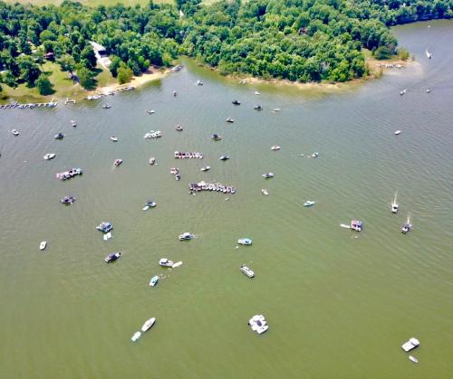
One of the lake’s most popular gathering areas, where boaters often anchor down and tie up together. The bay is generally calm, but it is not an officially designated no-ski zone.
Open map location↗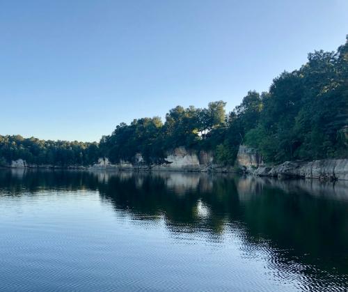
A scenic stop just down the lake from the Cave Creek boat ramp, where tall cliffs line the shoreline.
Open map location↗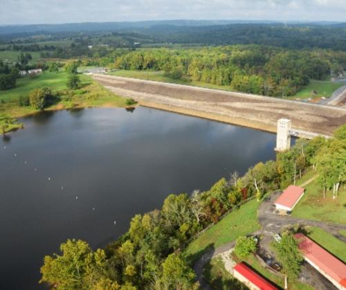
A convenient stop near Rough River Dam State Resort Park and Grayson’s Landing for food, fuel and supplies. The annual Fourth of July fireworks display is also held here.
Open map location↗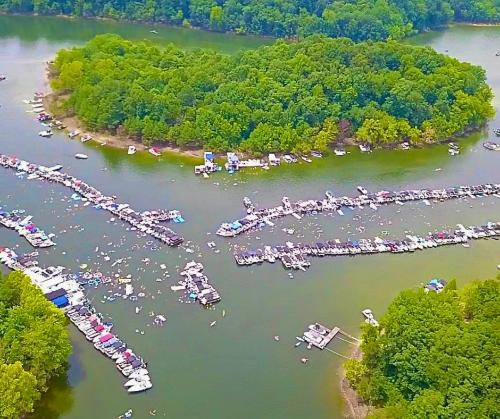
A popular south-end gathering place and the setting for the annual Music at the Island live-concert event.
Open map location↗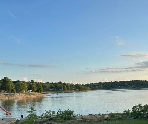
A large bay between Rainbow Gardens and Axtel Campground. It remains popular with boaters, but it is not a no-ski or idle zone and can get rough when traffic is heavy.
Open map location↗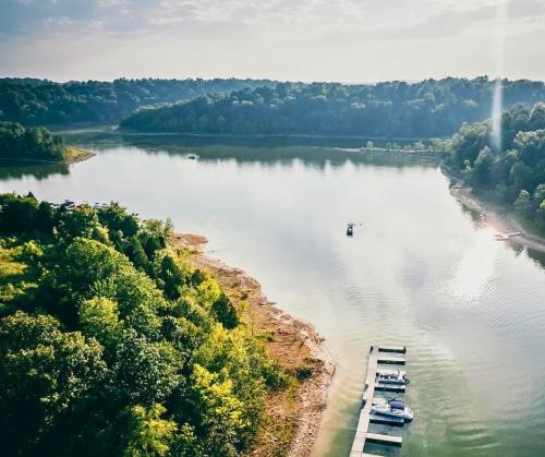
A familiar weekend gathering spot a short boat ride from the North Fork ramp.
Open map location↗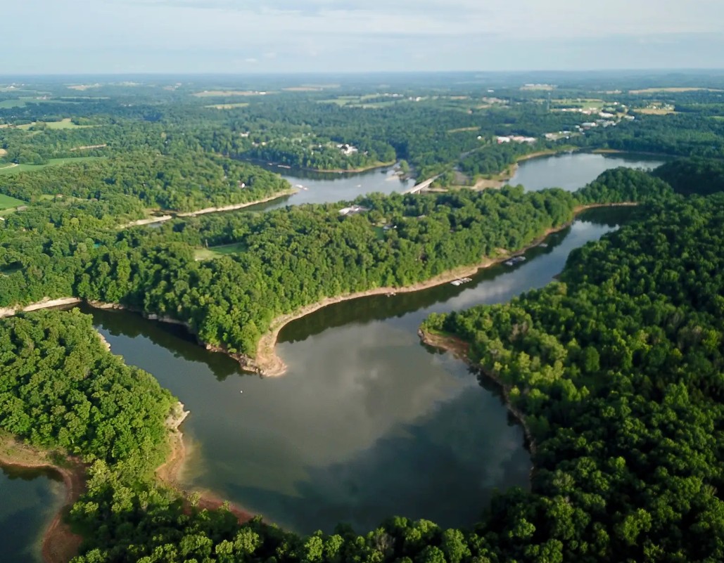
A quieter place away from main-channel traffic. Follow the idle zone to see the cliffs, with the Brown’s Hideaway boat ramp located just beyond them.
Open map location↗Back to the lake